Friday, January 22, 2016

Stillwater Exploration trip


A lengthy yet relaxing itinerary for a part of the more westerly portion of the High Uintas.  The idea here is this; each number represents a day in this 7-day trip:
  1. Park early in the morning at Christmas Meadows.  Hike Leg 1: 8.8 miles to unnamed lake high up in West Basin
  2. Explore West Basin.  Don't move the tent, don't wear the backpack.  If weather and conditions are good, consider making an attempt on Kletting or A-1 summits.
  3. Hike Leg 2: 7.5 miles from West Basin to Middle Basin, setting up camp near Ryder or McPheters Lakes (or one of the unnamed small satellites).
  4. Explore Middle Basin. Climb up on either the ridge between Hayden and Agassiz, or the ridge between Agassiz and Spread Eagle.  Don't move tent or put on pack.
  5. Hike Leg 3: 9.9 miles from Middle Basin camp to the shores of Amethyst Lake.
  6. Explore Amethyst Basin, including finding Ostler and Toomset Lakes.
  7. Come back to the car: 6.1 mile Leg 4.  Go home.
I won't have the Vernal Connection any more by next summer (I'm a little unsure of the timing, but for sure by then it will be gone) but that's mostly OK because it's going to evolve into being an SLC connection.  Or technically, somewhere in the north of the valley, like Bountiful or Layton or Ogden or something like that.  Not that that's not just as good as Vernal, I suppose.  I'll miss the pleasant drive along 191, though, and won't have any more excuses to go visit the Sheep Creek Geological Loop on the way to the trailhead.

Best done during the week.  Middle and Amethyst Basins are well-enough known by the local backpacking cognoscenti that they are not without their crowds on weekends, but there are lots of tales of folks who've gone during the week and had the entire area to themselves.

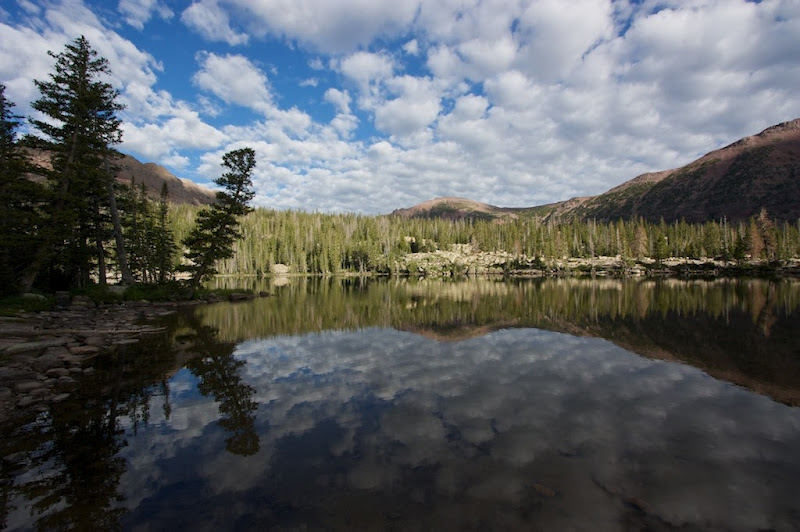
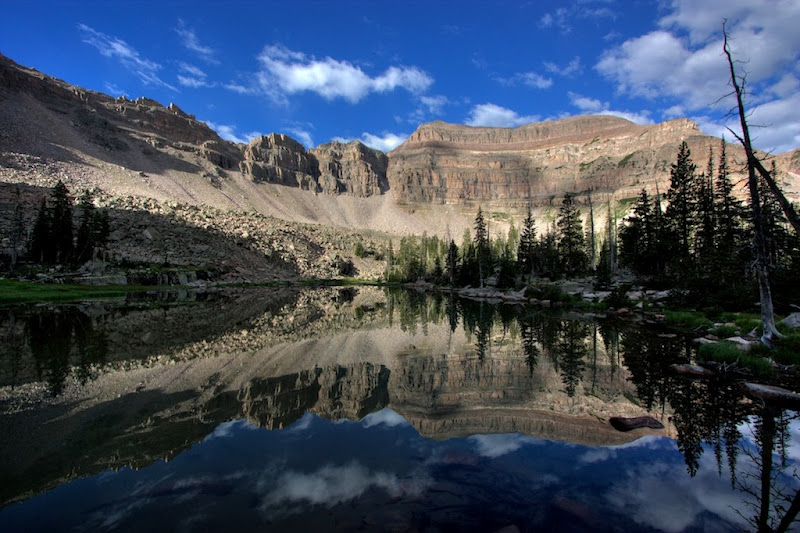
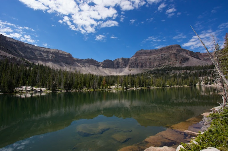
Here's a handful of images thanks to Google Image Search to complete the picture:

West Basin and Kermsuh Lake


Middle Basin


Amethyst Basin


Total distance hiked (not counting exploration) is only 32.5 miles.  Potential summits to go for include Kletting Peak, A-1 Peak, Hayden Peak, "East Hayden Peak", Mount Agassiz, Spread Eagle Peak, and Ostler Peak.

Thursday, January 21, 2016

My XPG mid hikers vs. the new 4MOST DRY-PLUS mid hikers

See?  They're the same shoe.

The 4MOST in Black/Green
My XPGs in Granite
Even the soles are exactly the same!

UPDATE:  Also; these look to be exactly the same as the outgoing XPGs too, although obviously the color patterns and branding are somewhat different.


Danner Extroverts

XPG Hikers 2.0
I really liked the Danner Extroverts, and they were on the short-list of boots I'd like to have bought.  I would have had to order them, though—I couldn't ever find any stores that actually carried them.  I was unwilling to order boots that I couldn't try on, and there was a sale at Cabela's that impacted both their own XPG Mid-hikers (another of my top 3 choices) and the New Balance 703 Country Walkers (the third of my top 3), so those two were both significantly reduced in price (from about $140 to $100).  I ended up being happy with the fit of both the XPGs and the New Balance, but I decided to go with the GORE-TEX, even though I wasn't sure I wanted it.  I think my thought was that if I could get a feature for free—even one that I was a little bit hesitant about because of a few people online complaining that GORE-TEX lined boots made their feet sweat—then I was better off taking it.  Plus, I ended up liking the look of the gray color more than I thought I would. (Although looking at the 703 Country Walkers, they do have a GORE-TEX lining, so I was mistaken in thinking that they didn't, and there wouldn't have been any substantial difference between the two shoes I was most leaning towards.)

I've ended up being very happy with the XPG hikers.  They've got plenty of miles still in them.  But I was always a little sad to have not taken a chance on the Extroverts, if for no other reason than that I really liked the look of them.  However, I went on a whim to the Danner site yesterday and realized that they're gone!  They're no longer listed.  I did a search for them, and found that you can still order them (in low stock circumstances) from a handful of retailers, but they're obviously essentially just exhausting inventory.  Sad.

Interestingly, the Cabela's XPG hikers that I got are now on sale at a rate reduced even below what I paid for them: $84.  Stock seems to be drying up on that too.  I noticed that they were being replaced with an XPG Mid-hiker 2.0 (actually its name) that looks similar, although comes in just a little heavier.

4MOST DRY-PLUS Hikers
Another search found me the Cabela's 4MOST DRY-PLUS mid hikers, which look exactly like the outgoing XPG hikers, just with slightly different colors.  Looks like Cabela's replaced the GORE-TEX layer with their own 4MOST DRY-PLUS lining instead, but otherwise left the shoe completely the same.  They probably make more profit on it without having to pay a premium for the GORE-TEX fabric when they can make their own substitute (even after dropping the base price by $20.)  Even the description is almost word-for-word the same.

So although the brand changed slightly, you can actually get exactly the same boots that I have.  Or, you can get the new and (presumably improved) XPGs.

By odd coincidence, the brown/gold color of the new 4MOST hikers kinda look a little like the old Danner Extroverts.  If it were brown/orange, they would look even more like them.  It's nice to know that when I want to replace my existing pair, I can basically get the same thing again, even if the waterproof lining is a different brand.

Friday, January 15, 2016

Uintas Alpine Traverse

Well, I took the concept that I explored yesterday, and made a new caltopo map for it.


Here's a snapshot of the range; a little bit more close-up than yesterdays, from Google Maps satellite view.


I'm liking this more and more the more I think of it.  The Douglas Mountain Boulevard is a jeep trail that traverses most of the desert portion of the "tail of the tadpole"; in fact, I had my route hiking over it.  But why not just jeep it instead, and then take a few minutes to summit Zenobia Peak?

This way it avoids the worrisome desert hiking with uncertain water supplies (especially since August or early September is the best time to do the alpine section of the range—but the worst time to do the desert section.)  It also avoids the equally worrisome crossing of the Green River canyon.  And, since I really wanted to see the Gates of Lodore, it also gives me the opportunity—actually, its mandatory to do so—to drive right by it in the Browns Park area to get to my jump-off point out there in the east.  Spending a few days in the subalpine High Bollies before I get all the way to the alpine Leidy Peak and beyond is also great for altitude acclimatization.  And it avoids lots of road-walking, which I'd have to do almost exclusively out there in the far eastern spur.

A few minor notes:

  • There's still more road-walking than I'd like in the subalpine eastern first couple of days or so.  And a few cross-country short-cuts.  Hopefully the bushwhacking isn't too brutal. As an aside, this is why I always hike in long pants; even on hot summer days.  Get a nice light cloth, and you won't get overheated due to pants, but you want to avoid getting our legs scratched and cut all to pieces by rough bushwhacking and stuff.
  • I took the King's Peak summit off the map, but if I'm right there on Anderson Pass anyway, there's no way I'm not going to do it.  That adds nearly a mile and a half to hit the peak and then come back down—0.7 miles one way.
  • Speaking of which, the route computes, according to caltopo, to exactly 189.99 miles.
  • If I do this without resupplying, I'll need a lot of food.  Luckily, the first few days are (relatively) a bit easier with the ups and downs and high elevation.  Although it's nice to eliminate your weight, you don't want to get hungry before you're done.
  • I'm actually not sure that it can be done without resupplying, unless it's a real death march with long, hard days.  To get the hike done in two weeks (14 days) I need to average just over 13.5 miles a day.  That shouldn't be terrible, but it depends on a lot.  I was hoping to average closer to 10.  If I average closer to 15, I can shave another day and a half or so.  I think the 2-weeks target is what I should plan on going for, and then get myself in really good shape to be able to easily hit a target of 15 miles a day.  With the 2½ day buffer, I can take some time here and there to slow down and enjoy certain spots; the Deadhorse Lake area and Crater Lake in particular being two that I wanted to do.  
  • Although the Chepeta trail head is almost exactly halfway, and the trail does hit the road right there (last time before diving into the High Uintas Wilderness and crossing no roads at all until SR-150 far to the west.)  If I can have someone meet me there, or even find a way to cache some food somehow, that would make a perfect resupply point, keeping my pack weights due to food reasonable.  I even marked that with a third car marker and split the route into an East and West half at this point.
  • I could also, if I had someone friendly enough to do so, get a last minute resupply at 191 and the Highline Trailhead.  I'd still have two nights out after that, and it could keep my pack even further down.  But, in order for that to work, someone would have to be willing to meet me there and hang around.
  • I could actually, if I needed to, shave a little bit of time and miles off the route.  I added a Red Castle area detour that I could cancel if I needed to, and in Rock Creek Basin, I left trail 025 to go explore the lakes on trail 122; and then I even went off-trail to explore a bit more (Reconnaissance Lake in particular.)  While it'd be a bummer to cancel these scenic detours, it's nice to have the option if I need them.  If I get holed up due to bad weather and fall behind schedule, or for whatever other reason need.
  • And if worse comes to worst, there are several bail-out points along the way; 191, 150, Hacking Lake, Chepeta Lake, etc.

Thursday, January 14, 2016

Ultimate Uintas, another slightly easier option

To start with, let's attach a screenshot I took and then labeled of the entire Uinta Mountain range from Google Maps satellite image.

Uinta Mtn Range, with subdivisions
As you can see, the entire range from above sort of resembles a tadpole with a weird kink in its tail.  Although summitpost.org divides the range up into four subdivisions (usually without clear indications of where those subdivisions are supposed to start and end very well) I think it makes sense to do three.  The summitpost.org divisions are, at least to some degree, based more on federal designations than they are on any intrinsic character of the mountains themselves.  At least, I think that's true for two of the designations, although the more easterly designations I'm keeping and more firmly defining.

The character of each area can readily be seen in the satellite shot too, which is actually rather remarkable.

The main part of the Uintas, A. the name for which I'll borrow from the big wilderness area that makes up a good chunk of its central surface area, is the High Uintas.  This area is primarily alpine in character.  High peaks and ridges rise above the treeline, and are surrounded by vast meadows and alpine tundras, while the fringe of foothills around it (as well as the basin floors which make deep incursions into the body of the mountains themselves) are heavily forested.  The Mirror Lake Highway, SR-150, bisects this section somewhere between a quarter and a third of the way in from the western edge, but it marks a rather arbitrary division, as the character of the range is essentially the same on either side of it.  150 is also where most of the traffic is; to the west, the area seems more used by short-range hikers, day hikers, campers, and fishermen, while the area to the east, which after just a few short miles becomes the eastern fringe of the High Uintas Wilderness Area is more used by horse-packers and backpackers.  Rocky Sea Pass (which also happens to be the dividing line between the Wasatch-Cache National Forest and the Ashley National Forest) seems to be a significant psychological barrier that keeps all but the more serious backpackers in the area to the west, but that is, again, a description of usage patterns more than intrinsic character.

The Highline Trail actually starts to the east of this, but most hikers who hike it pick it up near Leidy Peak, which neatly marks the eastern boundary of this section of the Uintas.  If they hike the entire Highline Trail from terminus to terminus, however, they're missing 25-35% or so of the western portion of this area, for reasons that are honestly pretty arbitrary.  If one were to traverse this section of the Uintas, using the stitched together route I highlighted on caltopo to complete the concept, you'd do pretty well: and your total miles hiked would be about 120.


This would be the red and dark blue sections of my caltopo map.

Going eastward from Leidy, the character of the range is more like that of the fringe around the High Uintas, though—it rarely pokes out well above treeline, doesn't feature the vast swathes of alpine tundra, and the peaks themselves are heavily eroded and rounded.  This section, B. is sometimes called the High Bollies, a name that I like and will continue to use.  US-191 and the Flaming Gorge reservoir bisect this section and sit heavily on its flanks, as can be seen on the map (the highway is the yellow line).  It ends in the east at the "kink in the tadpole's tail" and even at this resolution, you can see the marked separation at that sharp line; the subalpine nature of the High Bollies gives way to the very overtly desert section of the eastern tail of the range.

Given the difficulties in hiking the far eastern desert section (lack of water, heat, and crossing the Green River canyon without a trail or any route that isn't very steep, rugged, filled with riparian brush) not to mention the (presumed, admittedly) poor quality of the route, which sticks to dirt roads and jeep trails (for lack of any other route to take that makes sense), I'm pretty tempted to ditch the far eastern section and start somewhere near the western end of Browns Park; i.e., as near to the eastern edge of the High Bollies section as I can get a car.

Monday, January 11, 2016

Ultimate Uintas Traverse

The Highline Trail through the Uintas is a pretty good hike; a bit of a classic, if under-utilized by the hiking community overall (which actually contributes to its greatness, if you ask me.)  The actual full trail is 104 miles long, according to Wikipedia, although most who hike it don't start (or finish, depending on which direction they go) at the true eastern terminus, but rather at one of two alternate points further along, meaning that most do either the Chepeta to Highline portion (62 miles) or Hacking Lake/Leidy Peak to Highline (78 miles)—both of which are still pretty darn worthy backpacking trip goals.

And although I'm not in shape to do this myself, I've long been a bit saddened when looking at a map of the Uinta Range and seeing that the Highline Trail really only does a portion of what's available.  Sure, it may be the classic portion.  It may be the best of.  But what if you truly wanted to traverse the entire range?  On caltopo, I drew a straight, unhikeable "as the crow flies" route more or less along the crest, and I got a total of 160 miles; quite a bit more than the Highline offers.  There's the entire Western Uintas roadless area between the Highline Trailhead on 191 and Kamas, the valley that truly marks the western end of the Uintas.  And east of even the lightly used eastern extension of the official trail, the range continues eastward through Flaming Gorge National Recreation Area and Dinosaur National Monument all the way to Cross Mountain just east of where the Yampa and Little Snake rivers split.

I've put together (also on caltopo) a route that purports to traverse the entire range from a dirt road junction just east of Cross Mountain to Yellowpine Trailhead; the farthest west on the Mirror Lake Hwy, and just barely past the small "suburb" of Samak just outside of Kamas.  Here's the actual map, divided into four convenient and color-coded sections.  Well, technically six, but I'll get to the fifth and sixth ones in a moment.  The actual route, if hiked as mapped, comes to 235.34 miles—quite the epic adventure, and worth almost three weeks of backpacking for most—although really fast hikers could probably get that at under two.

Interestingly, according to the caltopo map, almost the entire section of the range east of the Green River canyon is part of a single massive (although low and rounded) mountain called Douglas Mountain.  I also added a work-around, just in case the canyon proves to be completely non-navigable.  Given that it looks to have about a 45° slope on the Zenobia Creek canyon (and not much better on the way up for Pot Creek) it might be; but the workaround adds at least a day's worth of hiking, and goes all the way to Brown's Park; the big valley just north of this part of the Uintas, before diving back in at another entry point.


Going from west to east, the sections are:

The West Extension. (dark blue)  This is stitched together from existing trails, with some very small areas of bushwhacking required.  The trails are typically fairly well covered, well traveled, and even many of the so-called bushwhacking sections are frequently done by hikers in the region.  This area is more known for its Boy Scout camping, fishing, and car-camping than extremely remote backpacking, although the route should be far enough removed from the most famous fishing holes and the Mirror Lake Highway itself that crowds aren't too bad.  This should be an easy section to travel for most; two days (only one night out) for extremely fast or strong hikers, but better off with two nights out, giving you up to three days to traverse this section.  At its easternmost section, it does require a little bit (considerably less than a mile) of roadwalking along 150 to get to the Highline Trailhead.  28.55 miles.

The Classic Highline. (red) This is the classic highline trail; going from Highline Trailhead to the Leidy Peak trailhead at Hacking Lake No. 2 far to the east.  I've added a few minor detours, including taking the northernmost option of the many trails that cross Rock Creek Basin, going off trail for a small detour to see Reconnaissance Lake, taking another small detour near Red Knob Pass to see Crater Lake, and of course, the traditional summiting of Kings Peak when you're already right there on Anderson Pass just a little over half a mile to the north.  I've also gone off the main throughput on to some other trails to see the Red Castle area, since you'll be passing right to the south of it anyway.  Altogether, this section of trail is listed as 91.57 miles, and would take over a week for most to hike given the terrain.  I'd plan 7-8 days, ideally.

Highline East. (orange) Technically this is part of the trail, but traditionally its rarely been done, and until very recently, reports were that the trail was in very bad condition, hard to follow, often faint, etc. and that it doesn't go through the dramatic scenery, so it wasn't worth the trouble.  It's a bit lower elevation, and none of it is above treeline.  Although it isn't just forest hiking; it does go through a number of reportedly very pretty "parks" or open meadows, and you can see Leidy Peak for miles as you hike it, it's the red-headed step-child of the trail; usually ignored.  Many who hike the trail don't even believe that it is officially part of the trail, or know about it.  The Trails Illustrated map of the High Uintas Wilderness stops right about where it starts, and you need the next map to the east (Flaming Gorge) to even see it.  But some volunteers in nearby Vernal have apparently decided that the deplorable trail conditions were a bit of an embarrassment, and supposedly the trail is now fairly clear, having had a lot of work done to make it navigable.  This section is also only 24.99 miles, according to my caltopo line.  If the reports about better trail conditions are accurate, this can probably be done in two days, if you start early enough.

Uncertain Eastern Section. (light blue) This part is the interesting one, and as far as I know, nobody hikes a route anywhere close to this.  I stitched it together mostly from jeep trails and other very poor quality dirt roads, which turns many hikers off, I presume.  It also does include a little bit of bushwhacking (some of which could potentially be avoided) but not much—although the trickiest part would be the plunge from Zenobia Peak down Zenobia Creek to the Green River in the Lodore Canyon, and then back up Pot Creek (or vice versa, depending on your direction of travel.)  I honestly don't know if this is a doable route or not; I don't know if public access to these roads and trails is a given, I don't know if my bushwhacking is too extreme to be considered doable (especially that part I just mentioned) and I don't know if water availability makes it an extreme hazard.  Given that you have to do the rest of the Uintas in the dead of summer, this lower, desert section of the Flaming Gorge and Dinosaur National Monument area might be too hot to be comfortable or advisable too.  So far, it's merely a theoretical route that requires considerably more research to determine if it can really, truly be done or not.  It's also quite long; at 90.23 miles, it's nearly half the traverse by itself.

Alternate Northside Route. (purple)  This part is an alternate route through the western section of the High Uintas Wilderness part of the route.  In theory, it's quite simple; it ditches the Highline Trail itself at Dead Horse Lake, and goes over Allsop Pass to see Allsop Lake, then hops over the next pass to see Norice and Priord Lake, goes around Amethyst Basin (maybe I should pop in to see that, actually—although it would require a detour.)  Then it goes on into Middle Basin, on trails now, and then crosses the pass to reunite with the Highline Trail right about at its trailhead.  Pretty much all of this route has been done, although not stitched together, as far as I know, but much of it is off-trail route-finding over sketchy passes, so it's a very advanced option.  It just seems a shame to miss some of those stunningly beautiful mountain valleys on the north side of the main crest of the range when  you're right there just on the south side of the main crest otherwise.  Not that the south side of the range isn't also very pretty, but... y'know.

Alternative Douglas Mountain Area. (green) If the Green River canyon turns out to be unreasonable in terms of something I can hike down and then up again the other side, I can bail and, without losing very much distance, do this alternative instead.  It's not necessarily desirable; I'm sure it adds at least another day, and it actually leaves the range to the north to skirt the entrance of the canyon (the justly famous Gates of Lodore) up in the Browns Park area, before diving back in again a little to the northwest.  I'd actually like to see the Gates and Browns Park, but given how long this desert section is going to take as it is, I don't think adding another day is really ideal.  But it may be unavoidable. 

Monday, November 30, 2015

GYE

Although the Uintas have been my go-to destination for convenience, where I most want to hike is along many of the Continental divide ranges of Colorado, and the Greater Yellowstone Ecosystem (GYE) which is home to, of course, Yellowstone National Park.  It's also a great deal of the area which surrounds Yellowstone, however, to the tune of over 12 million acres in total, including several national forests, several wilderness areas, and two national parks.  Here's an image:

I've circled some of the ranges that I'd be most inclined to want to hike.  The yellow circle is around the Beartooth Range, mostly in Montana, which contains the highest peak in Montana (Granite Peak 12,799 ft.)  The iconic hike of the Beartooth Range is the so-called "Beaten Path".  It doesn't actually traverse the range; it actually crosses it across it's width.

The lavender "circle" is the Absaroka Range; a volcanic range that is notorious as being the most remote and wild range in the lower 48.  There aren't really any iconic hikes here, that I know of, but there are lots of opportunities to hike, of course.  Places like the Brookes Lake Cliffs, Jules Bowl, Franc's Peak, etc. are at least iconic destinations.

The sky-blue circle is the Teton Range, located within (mostly) Grand Teton National Park.  The iconic hike here is the Teton Crest Trail, which I'd love to hike in the near term (I consider near-term to be within five years.)

The green circle is the Gros Ventre Range; a range that is almost criminally overlooked and underutilized, although of course that's great for those who do discover it.  It's a little lower, a little more remote, a little "cozier" in many ways than some of the really big, wild ranges nearby, but it's got spectacular scenery nonetheless.  Overshadowed by the national parks and the big destination spots in the Wind Rivers, the Gros Ventres don't really have any iconic routes, other than maybe the very short Shoal Falls loop, or the Highline Trail to Granite Chalet, but I'd love to stitch together some routes here.  Here's one rather epic example.

Finally, the red circle is the Wind River mountains, a wild alpine range that has at least a handful of major destination spots, especially for rock climbers (Titcomb Basin and Cirque of the Towers) as well as the highest peak in Wyoming (Gannet Peak, 13,804.)  There's also a beautifully done Wind Rivers High Route, which is mostly on trail, but not entirely.

The highest points—Gannet and Granite Peaks, although they draw lots of pilgrims, are kind of arbitrary, which is easy to see from this map.  Although Granite Peak is the highest peak in Montana, the border placement makes that kinda silly; it's a relatively modest peak for the GYE as a whole, which has a number of 13ers, including one in the Tetons, one in the Absarokas, and forty (yes, forty) in the Wind Rivers.

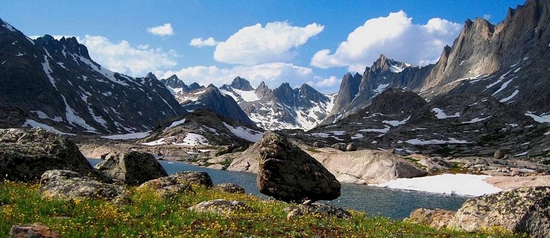
Wind Rivers from the Titcomb Basin area