I've circled some of the ranges that I'd be most inclined to want to hike. The yellow circle is around the Beartooth Range, mostly in Montana, which contains the highest peak in Montana (Granite Peak 12,799 ft.) The iconic hike of the Beartooth Range is the so-called "Beaten Path". It doesn't actually traverse the range; it actually crosses it across it's width.
The lavender "circle" is the Absaroka Range; a volcanic range that is notorious as being the most remote and wild range in the lower 48. There aren't really any iconic hikes here, that I know of, but there are lots of opportunities to hike, of course. Places like the Brookes Lake Cliffs, Jules Bowl, Franc's Peak, etc. are at least iconic destinations.
The sky-blue circle is the Teton Range, located within (mostly) Grand Teton National Park. The iconic hike here is the Teton Crest Trail, which I'd love to hike in the near term (I consider near-term to be within five years.)
The green circle is the Gros Ventre Range; a range that is almost criminally overlooked and underutilized, although of course that's great for those who do discover it. It's a little lower, a little more remote, a little "cozier" in many ways than some of the really big, wild ranges nearby, but it's got spectacular scenery nonetheless. Overshadowed by the national parks and the big destination spots in the Wind Rivers, the Gros Ventres don't really have any iconic routes, other than maybe the very short Shoal Falls loop, or the Highline Trail to Granite Chalet, but I'd love to stitch together some routes here. Here's one rather epic example.
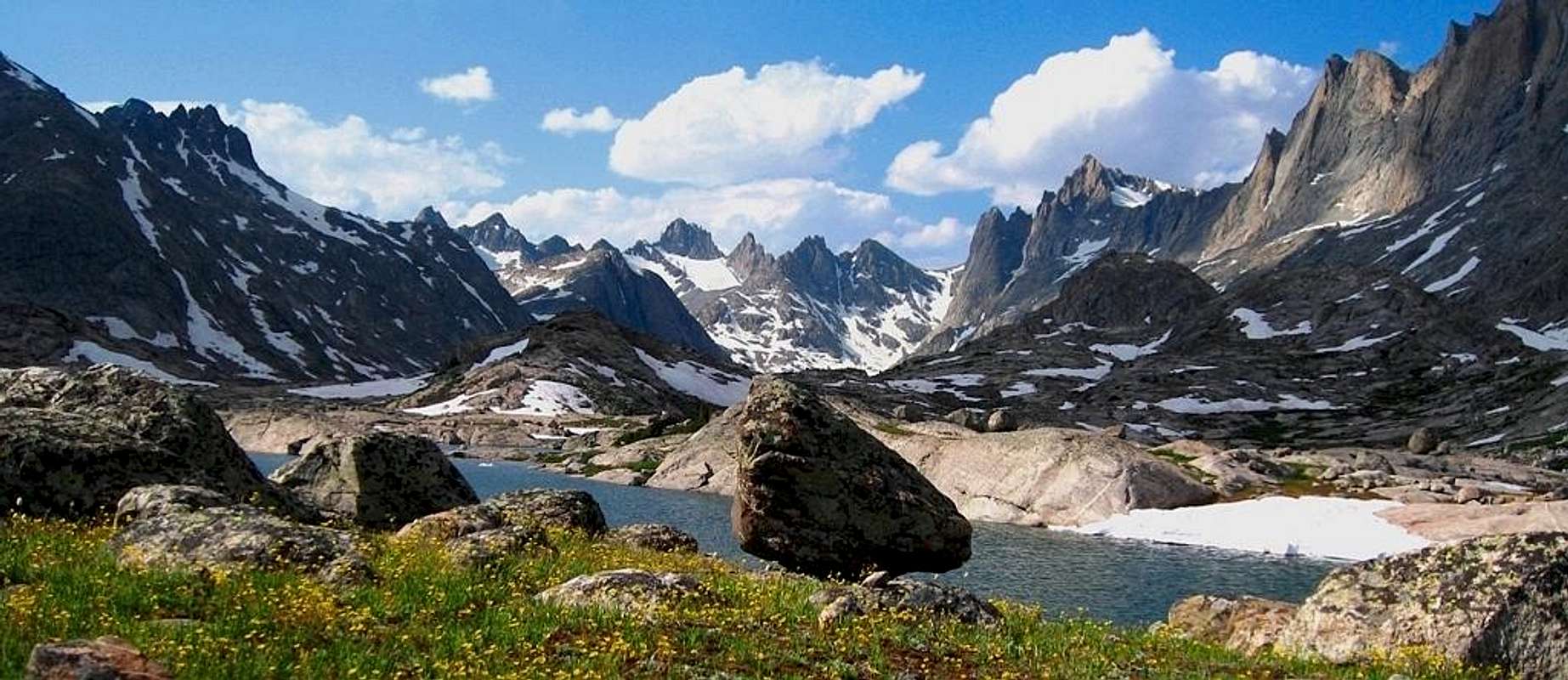
Finally, the red circle is the Wind River mountains, a wild alpine range that has at least a handful of major destination spots, especially for rock climbers (Titcomb Basin and Cirque of the Towers) as well as the highest peak in Wyoming (Gannet Peak, 13,804.) There's also a beautifully done Wind Rivers High Route, which is mostly on trail, but not entirely.
The highest points—Gannet and Granite Peaks, although they draw lots of pilgrims, are kind of arbitrary, which is easy to see from this map. Although Granite Peak is the highest peak in Montana, the border placement makes that kinda silly; it's a relatively modest peak for the GYE as a whole, which has a number of 13ers, including one in the Tetons, one in the Absarokas, and forty (yes, forty) in the Wind Rivers.
 |
| Wind Rivers from the Titcomb Basin area |


No comments:
Post a Comment