Here's the West Fork Blacks Fork leg of the trip, or at least the pictures thereof. We got a little bit later start than I would have liked due to a couple of complications first thing in the morning, and I didn't drive all the way to the trailhead, because I wasn't comfortable taking my car through the ford. This added about a mile and a half or so to the route, and as it happened, we wrapped up our first day about a mile and a half short of of our destination at Dead Horse Lake. By then, of course, we decided not to move the camp, but just go up to the lake and explore it as it was.
We spent a very lazy next day; I had thought it would be fun to climb up the pass a bit and go look for Ejod Lake, but I allowed myself to get talked out of it by my son, who had convinced himself that we were about to get stormed on any second now while we were at Dead Horse. So, we headed back to camp and lazed around for several hours instead. The good news is, that gives me an excuse to head back some time!
 |
| Approaching the Woodpile. |
 |
| Due to complications, we got a later start than I would have liked, but Alex was still jacketed up anyway. |
 |
| The dead trees around the Woodpile were ominous. The name predates the big pine beetle bloom of about ten years or so ago, doesn't it? |
 |
| I decided that I wasn't happy driving my car through the ford; I just have a small passenger car, after all. This was as far as I got before we unloaded and started walking. |
 |
| The first stream crossing. |
 |
| Here the trail looks pretty good, but it often got lost in extremely boggy meadows. We were just after snowmelt, so the trail conditions weren't the best. Tons of mud, and tons of mosquitos. And even in the best of conditions, the trail is often lost in the meadows, it appears. |
 |
| Again with the radioactive shirt, getting ready for another stream crossing. |
 |
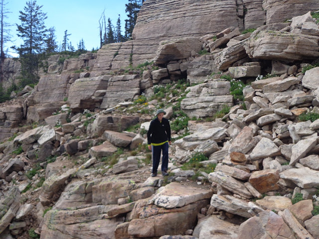
| The trail here stays a little higher than the meadow levels, just right near the trees, and occasionally crosses to the other side of the valley. For most of the first third of the trail, you're in the forest, for most of the second third, you're on the west side with great views of the Tokewanna ridge, and for most of the third third, you're on the east side checking out the rugged cliffs of Beulah. |
 |
| Storms gathering over our destination. |
 |
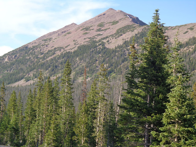
| The camera really shrinks this; Tokewanna completely filled our field of vision when looking at it from here. |
 |
| About to make the third stream crossing and have views of Beulah, starting with these. |
 |
| The meadow was extremely boggy here, and we ended up walking along the fence as much as we can so we didn't lose our shoes in the sucking mud, but it was nice to have this rough footbridge to actually cross the river this time. |
 |
| Ruins of an old cabin, presumably that of a tie-hacker from a hundred years or so ago. |
 |
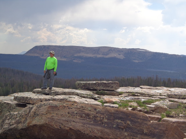
| Alex decided that since it was me instead of his mother, he didn't have to smile and pose for very many pictures, but here's a nice one. |
 |
| Getting closer to our destination, the weather took a turn for the worse. |
 |
| We got to within no more than a hundred yards... maybe less... of these two young bull moose. |
 |
| Chased into the trees to wait out a quick hailstorm cloudburst. |
 |
| After the hailstorm, sun hit the mountains of our destination, but my momentum had been seriously shot. I was having technical difficulties with my backpack, and wasn't as acclimated to the altitude as I'd hoped. As it happened, we didn't quite make it to the lake after all before it started getting darker than we wanted it to. |
 |
| The cirque near Dead Horse lake was one of the most beautiful places I've ever been. |
 |
| Clouds and sun on Red Knob. |
 |
| Looking backwards a bit; with Alex not quite getting out of frame fast enough. |
 |
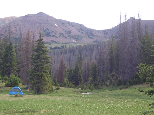
| Beulah as the sun was setting. We decided to set up camp here at a nice smooth spot next to the outlet stream, which eventually grows to be worthy of being called the West Fork Blacks Fork river, a little bit downstream. |
 |
| Out campsite. My shoes and socks are drying in the sun. |


